|
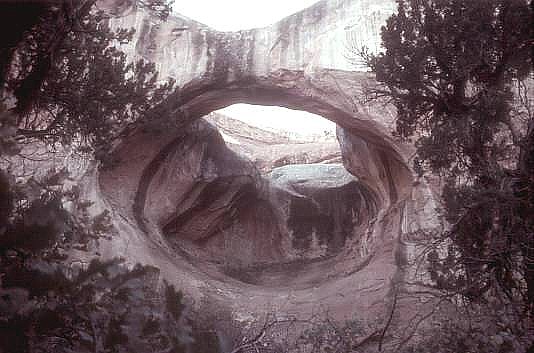
This arch is located in the Salt Creek Pocket in the
Needles District. It is a 3 mile hike SE from the gated
service road across Rt. 211 from the Outpost Store
(just outside the park boundary). It is located at
longitude 109 deg 43.284'E and latitude 338 deg 7.994'N.
"Brooklyn Bridge" is Ted's name for the arch (after all,
we know that a tree grows in Brooklyn).
Photo and directions by Ted Dahlman |
