|
From I/S 15 south of Provo, turn east on Rt. 6 toward Price
for about 10 miles. Turn left onto the Diamond Fork Road.
This turnoff is off the four lane stretch of Rt. 6 which was
re-built to bypass a large landslide. Drive 6 miles and park
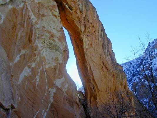
at the Red Ledges Picnic Area. Walk to the far (upstream)
tables from which location the arch is visible high up. It is located at
UTM12 T 0465675E; 4436666N (WGS84). The height of the opening
is about 15 ft.
Photo and directions by
|
