|
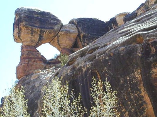
"Long House Ruin" is Rob's name for this arch. He also took the photograph. It is in Grand Gulch about 24 miles down- canyon from the Kane Ranger Station. It is high on the western wall of the canyon. It is shown as "natural arch" on "Polly's Pasture 7.5 Minute USGS Quadrangle" map. |
