|
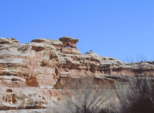
"Polly/Grand Gulch is Rob Jones's name for this arch. He also took the photograph. It is about 26 miles down-canyon from the Kane Ranger Station or about 1/4 mile up-canyon from the foot of the Government Trail. It sits atop the eastern wall and can be seen from the Gulch, but better from the western benches north of Polly's Island (a rincon). It is labeled as "natural arch" on the "Polly's Pasture 7.5 Minute USGS Quadrangle" map. |
