|
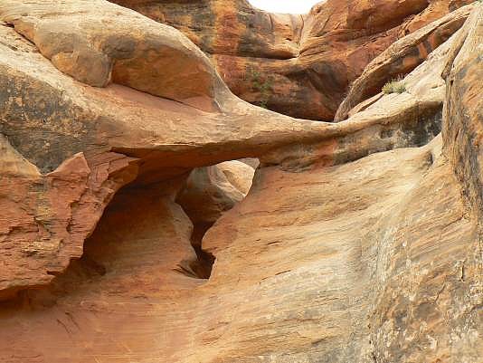
From the TH, instead of hiking east on the Ernie’s Country trail, hike down the 4wd trail to UTM 12S 581435E, 4221702N. Then hike down into South Fork of Range Canyon. When reaching the canyon floor, turn up-canyon and hike to its end,. Estimated coordinates of the arch (which appears to be a natural bridge) are UTM 12S 581943E, 4221469N WGS84.
Photo and directions by Rob Jones |
