|
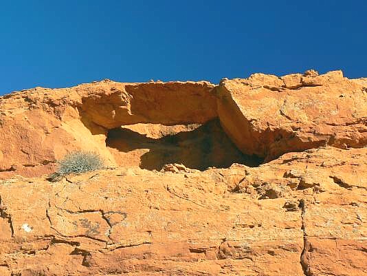
From Hwy 163 between Bluff and Mexican Hat, turn north onto San
Juan County Rd. 262 at MP 40.5 This turn is about 5 miles west of
Bluff. This is the Lower Butler Wash Rd. Drive this dirt road north
for about 2.2 miles. Look in the top of the chocolate bluff to the east
for Butler Wash Road Arch, which can be seen from the road, just above
a spur road off the main road
.
Coordinates for the arch are UTM 12S 0621072E, 4127745N, WGS 84 Photo and Directions
|
