|
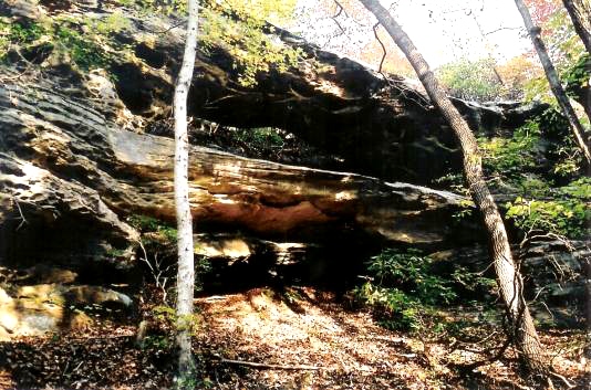
Refer to the directions to Coal Branch Arch. After turning left onto Rt. 1363 for
about 2 miles (or less) turn right onto FR3258 and follow it to where Bee Rock Rd.
(FR6112) turns to the right. The Arch is in the vicinity of this intersection at
UTM 16S 716720E 4066779N. After logging on to Kentucky Landforms and
clicking on "Double Ledge Arch", the associated Google Map shows the location
of Double Ledge Arch. The larger opening of Double Ledge Arch is 26 ft.
Photo by Ray Millar |
