|
Drive down the gravel scenic drive 10.3 miles from the Visitors Center
to a parking area at the mouth of Capitol Gorge. Until 1962, Capitol Gorge was the only east-west route in this part of the state. Occasionally, one could read in the newspaper about some car getting caught in a flash flood.
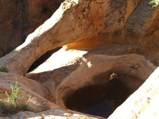
The trail is a mile long, ending at a side canyon containing potholes known
as tanks. The arch is in this area. One can hike another three miles to
the town of Notom.
Photo by Craig Shelley |
