|
This arch is named after Mouse's Tanks which are nearby. Drive to the
Mouse's Tanks trailhead on the road north of the Visitor Center. There
are many petroglyphs along the 1/4 mile walk to a junction where the
trail turns sharply left. The trail ends at the Tanks 60 ft. from this turn.
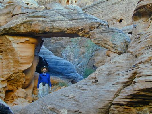
Instead of taking the turn to the Tanks, go straight ahead up a brushy side
canyon for about 90 ft. Mouse's Buttress is on the right, hidden in
between short sandstone fins. It has a span of about 9 ft.
Directions by Rob Jones. Photo by Kathleen Smith Jones. |
