NABSQNO 10T-585700-5057200 (fallen)
Bridge of the Gods
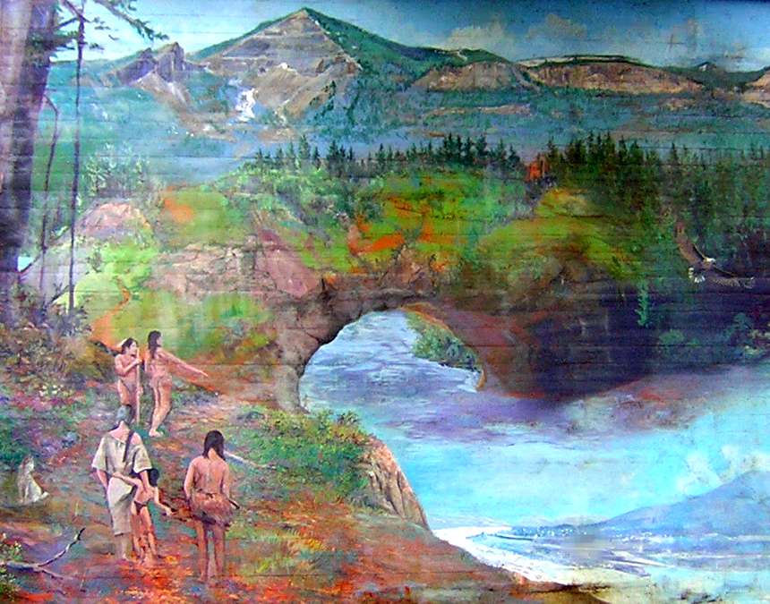
Detail of a mural by Larry Kangas
NABSQNO 10T-585700-5057200 (fallen). Bridge of the Gods was a waterfall natural bridge eroded by the Columbia River through a geologically very recent pryoclastic flow. The remnants are located about 50 miles east of Portland on the Oregon side of the river, just upstream of the man-made bridge that has the same name.
The several Native American peoples in this area all have various myths about this natural bridge. These myths differ in most respects except for the central role played by the bridge. Indians interviewed by Lewis and Clark in 1805, stated that the bridge had only fallen a few generations prior to the expedition's arrival. There is also strong physical evidence the bridge existed.
At this point, the best guess scenario is that Bridge of the Gods formed sometime between 1000 and 1450. It grew rapidly as a result of the frequent floods of the Columbia River, and collapsed sometime between 1550 and 1750. At its maximum, it had a span somewhere between 340 and 400 feet. This is much longer than any natural arch currently documented.
| Topo Map | Google Map | Return to State Index |