NABSQNO 14S-402013-3886195
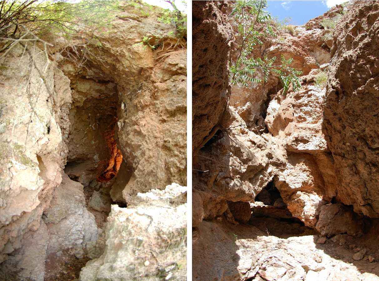
An unnamed double waterfall natural bridge in Collingsworth County, Texas
Photos by Jay Wilbur
NABSQNO 14S-402013-3886195. This unnamed double waterfall natural bridge has eroded through layers of Blaine Formation with variable hardness. The main lintel, and the secondary lintel at the western entrance (photo on right), have higher gypsum content than the surrounding layers of softer rock. This enabled the differential erosion that formed the bridges.
Shown on most topographic maps, the arch is located on private property about 12 miles southeast of Shamrock, Texas, in Collingsworth County. Access is via 4WD tracks and requires the permission of the land owner. The main opening has a span of 5 feet, a height of 20 feet, and a width of 27 feet. Although the opening is small, it is possible to negotiate the entire width of the arch.
| Topo Map | Satellite Map | Return to State Index |