|
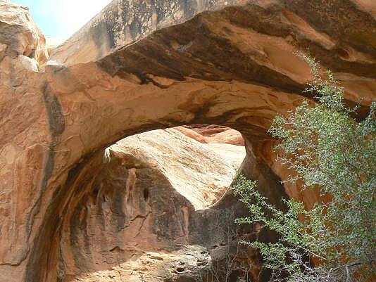
Hike the Ernie’s Country route between the TH and the Doll House to where it crosses Sweet Alice Canyon, the canyon containing Muffin Arch. Hike up Sweet Alice for about 2 miles. You will see Un-named Arch (27-UT-591) on the south-facing side of a wall. Hike east from the viewpoint for 27-UT-591, which is about UTM 12S 588479E, 4224121N, WGS 84 to the east for about 0.3 miles to Toitey Bowl Arch. The arch is at approximately UTM 12S 5887007E, 4224120N, WGS 84.
Photo and directions by Rob Jones |
